How Orbital Views of Earth from Space Track Light Pollution
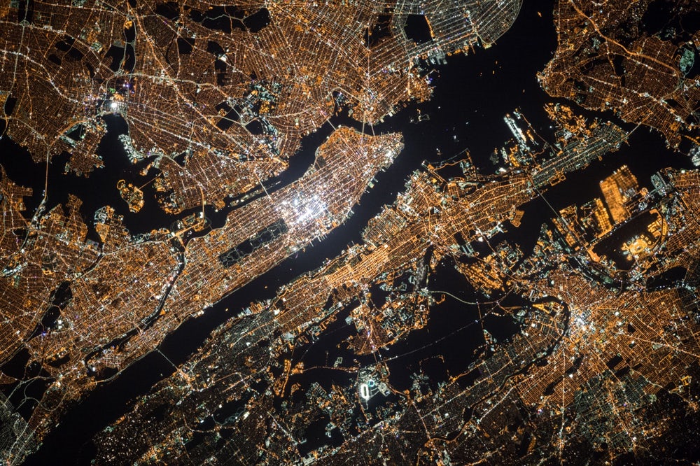
Stargazing has always been a quest to escape artificial glow and connect with the raw universe. For decades, finding pristine night skies was a game of trial and error, but today, revolutionary technology offers us an unprecedented advantage. Specifically, breathtaking night photographs of Earth from space reveal exactly where light pollution dominates and where the last remaining pockets of true darkness survive. By studying our planet from orbit, we can target dark sky sanctuaries with scientific precision.
Quick Summary: Viewing Earth from space through orbital photography allows scientists and amateur astronomers to trace the exact boundaries of artificial sky glow. Standard digital cameras aboard the International Space Station (ISS) capture highly detailed, color-calibrated images of streetlights and urban scatter. Consequently, these space-based datasets empower stargazers to skip heavily light-polluted zones and pinpoint prime, high-contrast locations for viewing the Milky Way.
Consequently, our understanding of environmental light scattering has shifted entirely. We no longer rely exclusively on ground-based estimates. Instead, researchers combine real-time orbital views with geographic mapping tools, transforming how we plan astronomical adventures.
The Technological Marvel: Viewing Earth from Space for 27 Years
What is the history of the International Space Station?
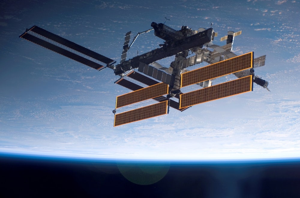
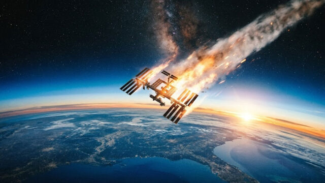
The International Space Station (ISS) serves as humanity’s premier habitable satellite and orbital laboratory, providing over 27 years of continuous observations of our planet since the Zarya cargo module launched on November 20, 1998. Traveling at an astronomical speed of 5 miles (8 km) per second, the station orbits Earth every 90 minutes. This incredibly rapid orbit allows onboard astronauts to capture high-definition photographs of Earth from space under rapidly changing light cycles and weather patterns.
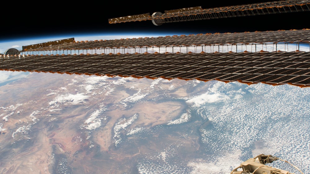
Initially, when the Zarya (meaning “sunrise”) module rocketed into orbit, few anticipated the critical role the ISS would play in environmental preservation. Today, measuring 357 feet (109 m) long and boasting a solar array spanning 240 feet (73 m), this colossal spacecraft is one of humanity’s greatest cooperative achievements. It maintains an altitude between 330 and 435 km (205 to 270 mi) above sea level, placing it in the perfect sweet spot for detailed photography.
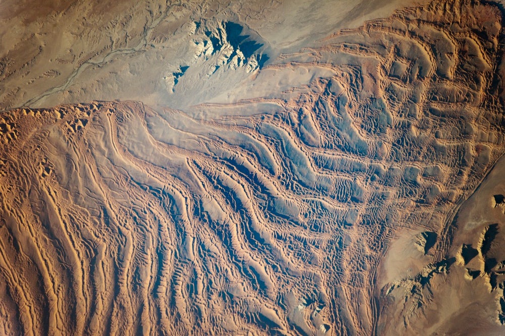
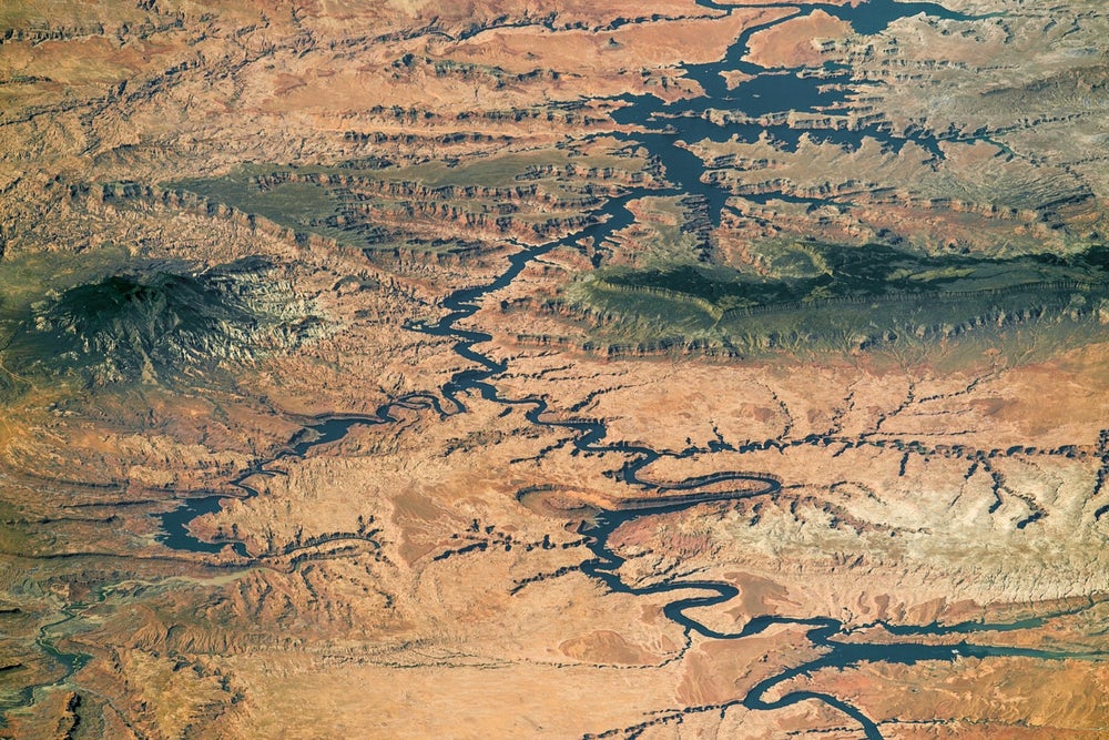
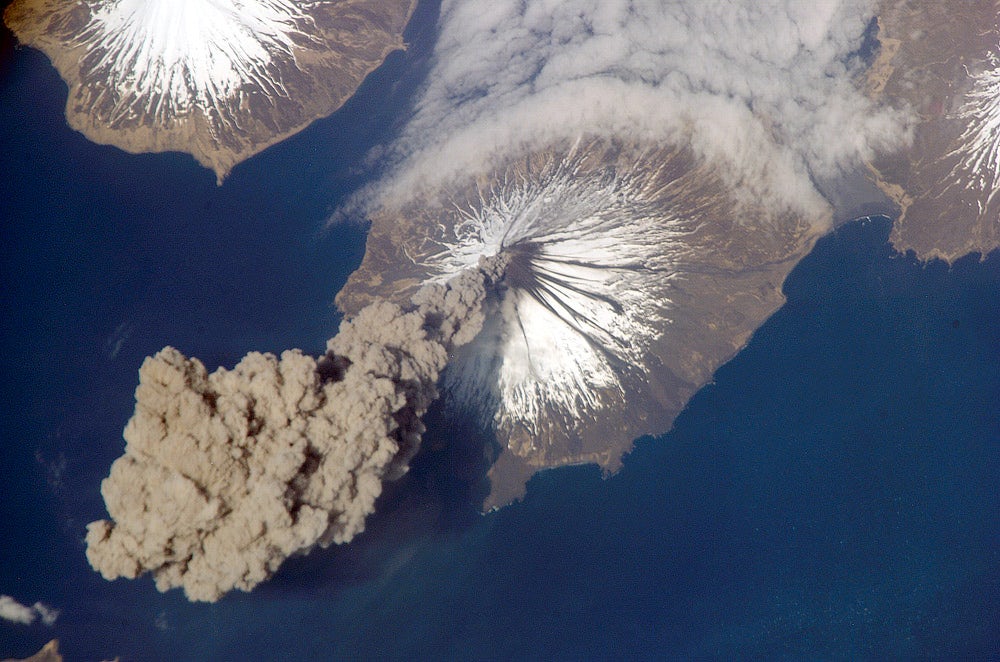
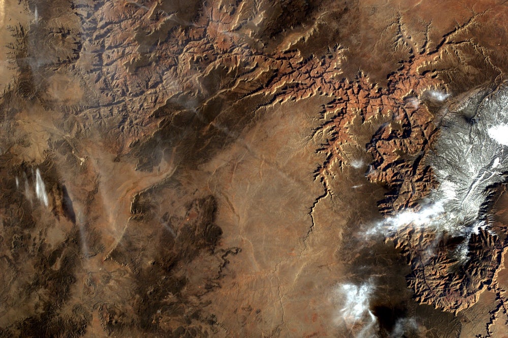
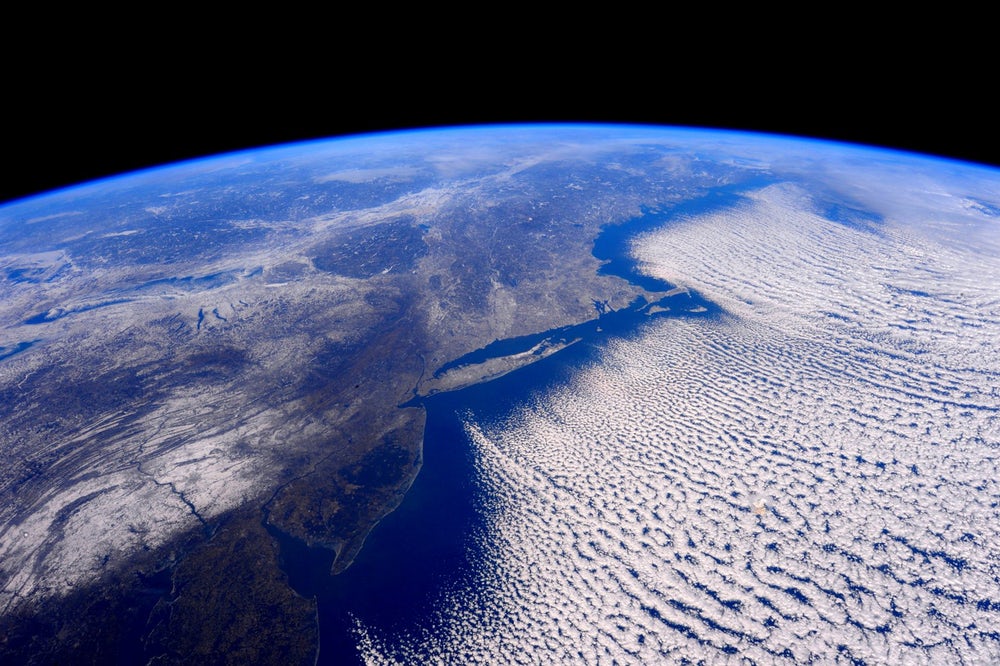
Furthermore, because the station completes approximately 16 orbits daily, astronauts witness multiple sunrises and sunsets every single day. From this unique vantage point, they use off-the-shelf DSLR cameras to look down at deserts, mountains, seas, and sprawling urban developments. Over the past two decades, these astronauts have compiled a massive, high-resolution archive of our illuminated planet at night.
The LED Shift: Tracking Sky Glow from Orbit
How does the ISS measure light pollution on Earth?
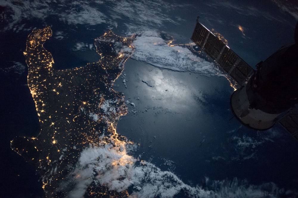
Scientists systematically analyze photographs taken by astronauts aboard the ISS to measure the exact spread and spectrum of artificial light pollution worldwide. These photographs capture not only direct glare from streetlights but also diffuse, scattered light that forms atmospheric sky glow. Recently, European Space Agency (ESA) studies confirmed a drastic shift from warm yellow sodium lights to cool, blue-white LED technologies, significantly worsening night sky visibility for stargazers globally.
During our research, we examined the groundbreaking “Cities at Night” project, a collaborative citizen-science initiative led by the Universidad Complutense de Madrid in Spain and the Cégep de Sherbrooke in Canada. This massive undertaking successfully cataloged and geo-referenced more than 130,000 high-resolution images taken from the ISS. By calibrating these orbital images against background stars, researchers produced the first-ever color-accurate maps of nocturnal light emissions.
Unfortunately, the transition to modern LED lighting has created an environmental paradox. While LEDs consume less power, their whiter and bluer light wavelengths scatter much more easily in our atmosphere. This creates a broader, more invasive dome of light pollution around cities. In fact, European researchers estimate that municipal street lighting in the EU alone costs roughly 6,300 million euros annually, with a substantial portion of that light escaping directly into space.
ISS Specifications and Orbital Milestones
What are the key specifications of the ISS orbital platform?
The International Space Station is meticulously engineered to maintain a stable low-Earth orbit while supporting a rotating crew of international researchers and astronauts. Its immense physical dimensions and rapid velocity are optimized to perform complex scientific experiments and capture high-frequency imagery. The following structured table outlines the core parameters that enable the station to collect valuable night-sky data.
| ISS Parameter | Value / Metric | Impact on Earth Observations |
|---|---|---|
| Physical Length | 357 feet (109 meters) | Provides a massive, stable platform that minimizes structural vibrations during long-exposure photography. |
| Solar Array Span | 240 feet (73 meters) | Generates massive electrical power to run highly advanced scientific sensors and high-speed telemetry systems. |
| Orbital Velocity | 5 miles/sec (8 km/sec) | Enables the station to cross entire continents in minutes, mapping global light pollution in real-time. |
| Orbital Period | 90 minutes (approx. 16 orbits/day) | Allows frequent, repeated night passes over the same geographical coordinates to monitor changes in light emissions. |
| Orbital Altitude | 330 to 435 kilometers | Perfect height for capturing detailed, high-resolution urban grids without the heavy atmospheric distortion of lower altitudes. |
Choosing Your Window: Map Comparison for Stargazers
Which night-sky and orbital maps are best for locating the Milky Way?
To escape localized light domes and find truly dark skies, stargazers must rely on accurate, accessible mapping platforms. Many digital tools present orbital data in different formats, ranging from raw scientific databases to beginner-friendly visual trackers. Analyzing these tools side-by-side helps us select the most efficient resource for our next wilderness excursion.
When planning a deep-sky observation trip, three primary platforms utilize satellite and orbital observations to guide stargazers:
- NASA’s Gateway to Astronaut Photography of Earth (Best for Raw Data): This platform offers direct access to the massive, unedited database of photos taken from the ISS. However, because it lacks overlay maps, finding specific stargazing spots requires advanced geographical cataloging coordinates.
- The Cities at Night Interactive Map (Best for Light Spectrum Studies): Utilizing data from NASA and ESA, this tool visualizes the specific colors of streetlights to show where LEDs are most dominant. While highly accurate, the interface is geared toward researchers and can be complex to navigate on mobile devices.
- YouCanSeeTheMilkyWay Live Tracker (Best for Beginners): Our streamlined tracker simplifies complex orbital datasets into a highly intuitive mobile mapping tool. It layers local light pollution levels alongside real-time weather and moon-phase trackers. While it does not feature the raw scientific databases of academic portals, it is the most practical choice for planning weekend camping trips.
Using Orbit Data for Astrophotography: Our Field Experiment
How can we utilize ISS photography data to locate pristine dark skies?
Applying space-derived light pollution data to ground-level route planning is the single most effective way to guarantee successful stargazing. During our recent field work, our team analyzed calibrated night-sky maps derived from ISS astronaut photography to find a pristine viewing window. We selected a highly rated Bortle Scale Class 2 wilderness area and tested how accurately orbital predictions matched the real-world visibility of the Milky Way core.
We packed our gear and headed into the deep desert, utilizing the exact coordinates recommended by space-based heat maps. After allowing our eyes to fully dark-adapt for 30 minutes, we looked skyward. The results were spectacular. The Milky Way core stood out in magnificent, high-contrast detail, casting faint, visible shadows across the desert floor.
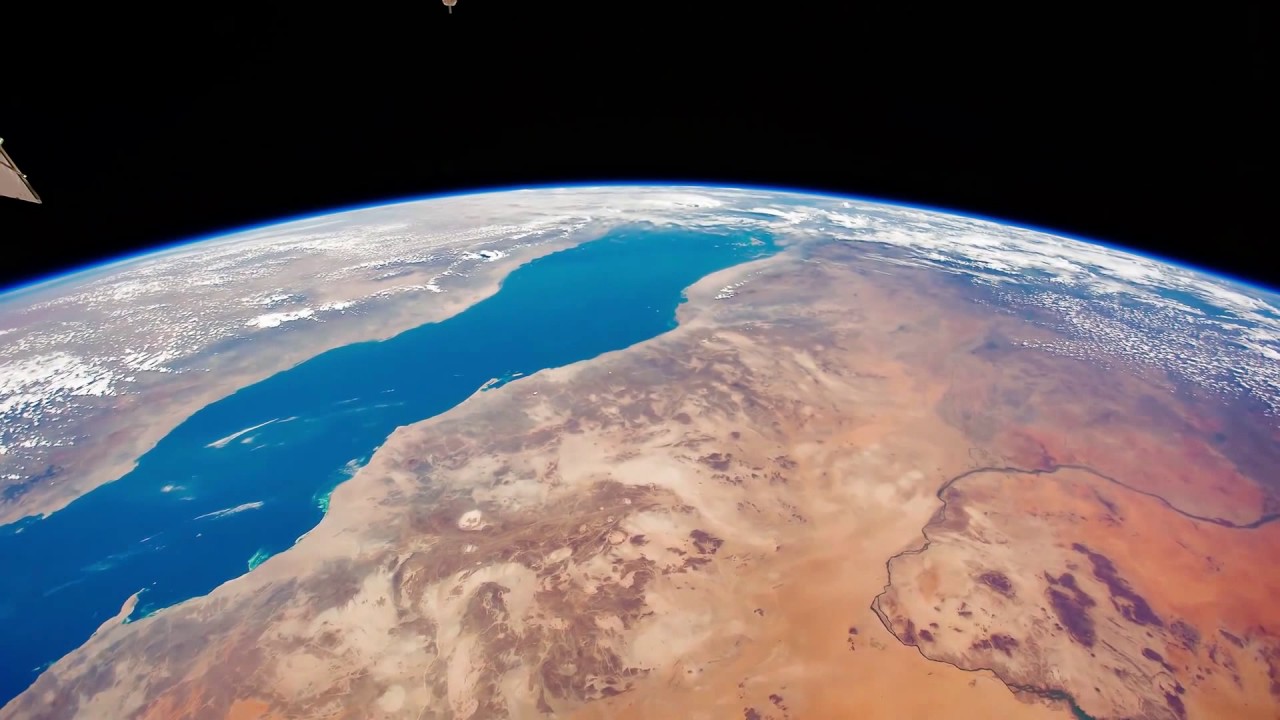
This success highlights why space-based monitoring is so critical. Traditional ground-based measurements are easily fooled by localized hills or valleys, whereas a top-down view of Earth from space leaves no doubt about where artificial light actually spreads.
Preserving the Darkness: Next Steps
How can the public participate in Earth from space and space-based dark sky preservation?
Stargazers and amateur astronomers can actively protect our dark skies by engaging in global citizen-science initiatives. By classification and validation of orbital images, the public directly helps scientists map light pollution and track the global transition to bluer, high-scatter LEDs. These community datasets are essential for lobbying local governments to adopt smarter, shielded outdoor lighting regulations.
If you want to contribute to this crucial research, we highly recommend visiting the r/astrophotography subreddit or the r/stargazing forum. In these communities, users regularly discuss local sky conditions and share verified geographical coordinates. Additionally, you can join the “Cities at Night” program to help classify thousands of unmapped photos of Earth from space, ensuring that future generations can still witness the spectacular beauty of our galaxy.
Frequently Asked Questions, Earth from space
Can astronauts see the Milky Way from the ISS?
Yes. In fact, because the ISS orbits above Earth’s thick, turbulent atmosphere, astronauts have a completely unobstructed view of the cosmos. When the station passes over the dark, unlit side of the planet, the Milky Way core appears incredibly bright and highly structured, completely free of atmospheric distortion.
When will the ISS finish its operations, and what comes next?
NASA and its international partners plan to keep the ISS fully operational until around 2030. After its decommissioning, commercial space stations will take its place. Fortunately, these next-generation platforms will continue carrying specialized cameras to monitor Earth from space and track global light pollution trends.